Ga naar de inhoud
English below
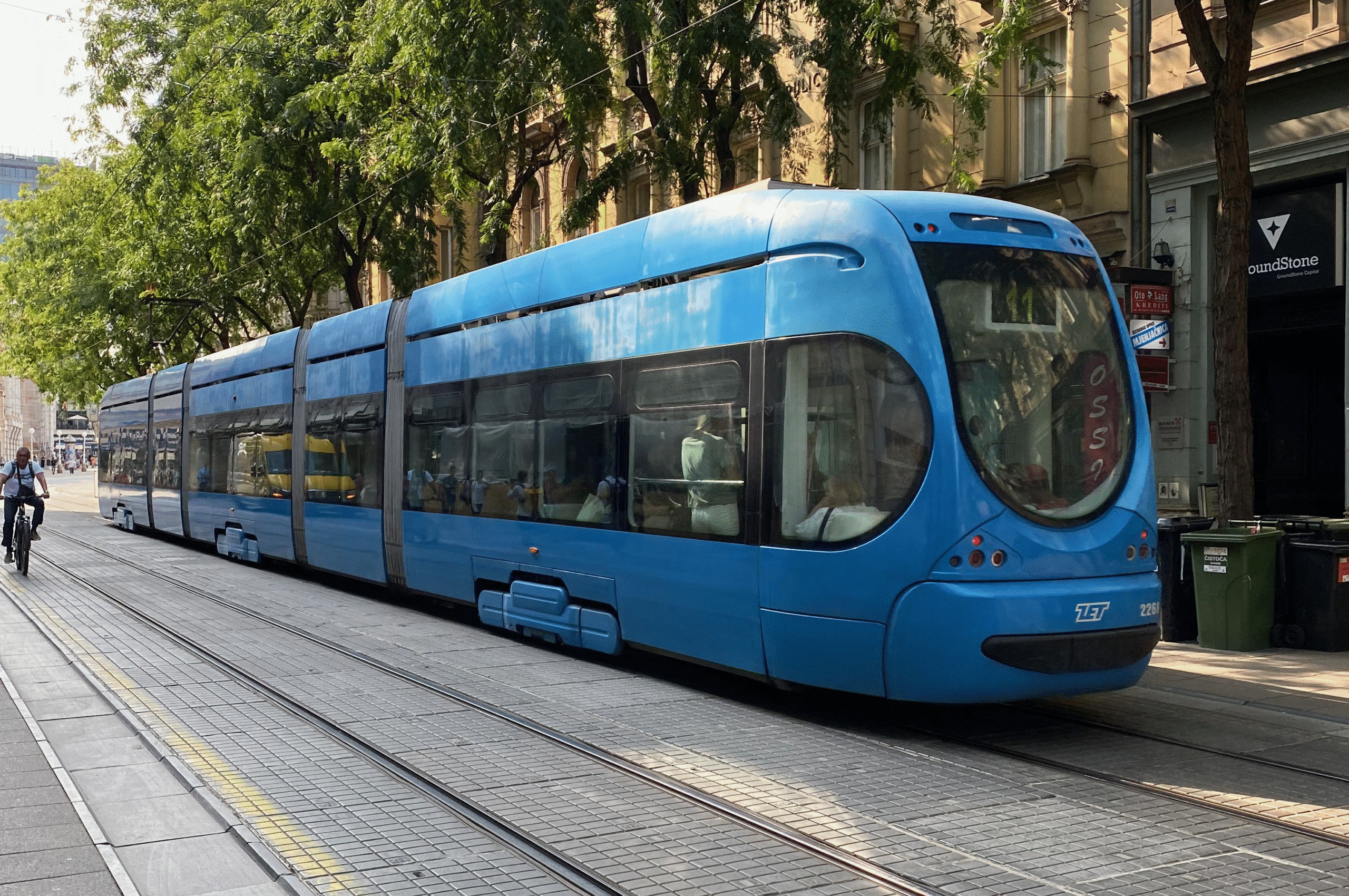
Hoe gaan Europese tramsteden momenteel om met hun data en spoortakkaarten? Sensornet is op zoek naar inzichten, ervaringen en voorbeelden. Daarom startten we een verkenning om de huidige situatie in kaart te brengen. We benaderden assetmanagers en infrastructuurbeheerders in diverse Europese steden met dichte bebouwing en complexe netwerken.
GPS-data wordt onnauwkeurig door hoge bebouwing of bijvoorbeeld parallelle sporen, zo blijkt uit contacten met railbedrijven en steden. Dit maakt toewijzing van voertuigen aan specifieke spoortakken lastig. We zien dan ook grote verschillen in nauwkeurigheid en actualiteit.
Specifieke methodes
Wij willen graag weten of railbeheerders specifieke methodes of tools gebruiken om GPS-data aan de juiste spoorpositie te koppelen. En we zijn benieuwd naar welke invloed dit heeft bij operationele of strategische beslissingen.
Uw ervaringen delen over de nauwkeurigheid van GPS-data? Neem contact met ons op.
ENGLISH
Sensornet seeks dialogue on data quality in European rail and tram networks
How are European tram cities currently handling their data and rail branch maps? Sensornet is looking for insights, experiences and examples. So we launched a survey to map the current situation. We approached asset managers and infrastructure managers in diverse European cities with dense development and complex networks
GPS data becomes inaccurate due to high buildings or parallel tracks, for example, according to contacts with rail companies and cities. This makes assignment of vehicles to specific tracks difficult. We therefore see large differences in accuracy and timeliness.
Specific methods
We would like to know if rail operators use specific methods or tools to link GPS data to the correct track position. And we are curious about how this affects operational or strategic decisions.
Want to share your experiences about GPS data accuracy? Get in touch with us.